LOTIS — Emergency Response GIS System
Mapping the invisible — a GIS platform to protect the people disaster response most easily leaves behind.
Client
MDRRMO Zarraga & Santa Barbara, Iloilo Province
Year
2024
Role
Sole Developer
Why It Exists
During disasters in the Philippines, the people most at risk aren't always the easiest to reach. Persons with disabilities — PWDs — often can't evacuate on their own, can't queue for relief, can't make it to general assembly points without help. And the MDRRMO offices tasked with protecting them had nothing in place to even find them. No database, no map, no way to know which barangays had the highest concentration of vulnerable residents before a typhoon made landfall. The data existed somewhere — scattered across BSPO household surveys, barangay registries, government records — but none of it was connected, and none of it was actionable in an emergency. LOTIS was built to close that gap: a GIS-based platform to map vulnerable populations, support evacuation planning, and give disaster response teams the information layer they needed to act in the moments that counted most.
What I Built
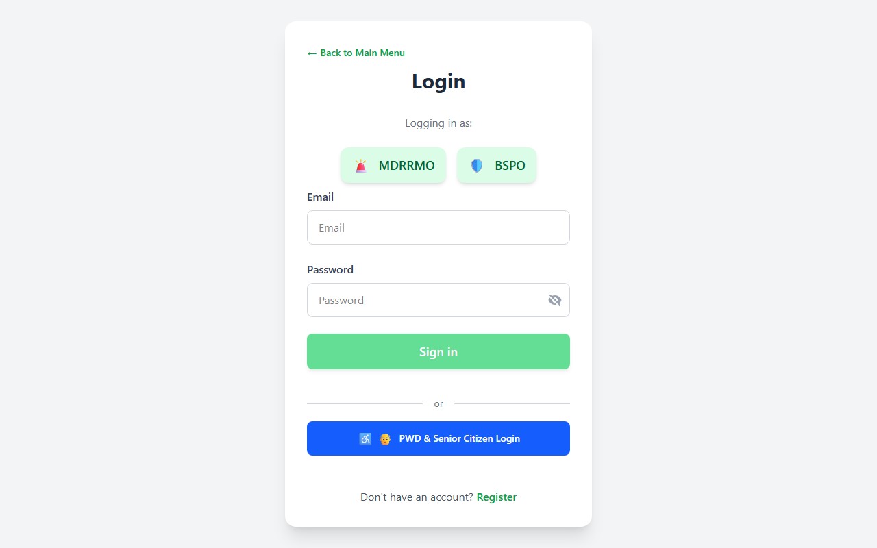
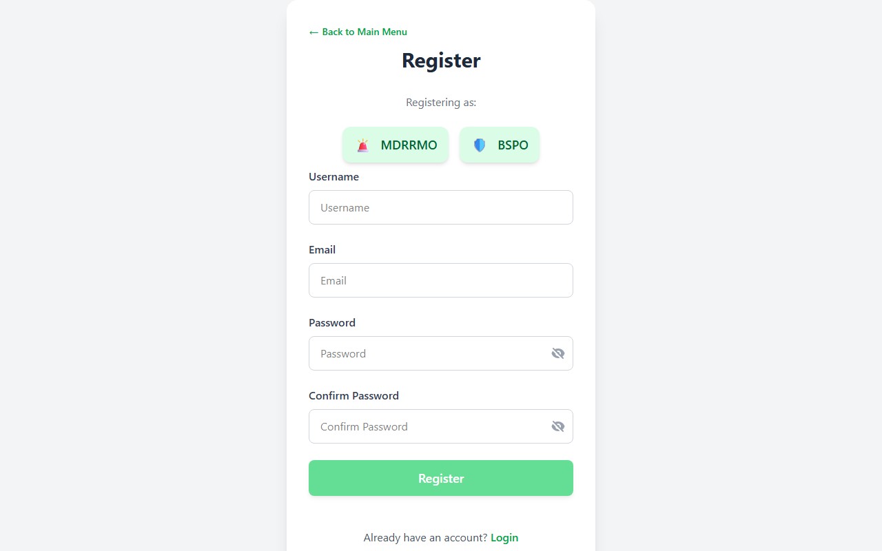
I built the full system solo — every architectural decision, every database schema, every dashboard screen was mine. LOTIS is a web-based GIS platform with multi-role dashboards: MDRRMO officers can view population vulnerability maps, identify high-risk zones, and coordinate evacuation routes through a Leaflet.js map interface. The data model was one of the harder design calls. Government records are structured around households, not individuals — so the schema had to reflect that hierarchy: household → family → individual — while keeping queries fast enough for real field use. I integrated KoboToolbox for field data collection, weather APIs for real-time conditions, and SMS broadcasting for alerts. Role-based access was non-negotiable given the PII involved: each user role sees only exactly what it needs, nothing more. Account creation requires verification against PWD IDs and government-issued identification — because this data has real consequences if it gets to the wrong hands.
The Hardest Part
The data I received from the BSPO was a mess. Incomplete, inconsistent, outdated. Some barangay records were missing entirely; others had duplicates or incorrect entries. Cleaning and mapping that to a reliable schema took longer than building most of the features — and it was my first real encounter with what government data actually looks like outside a classroom. No tutorial prepares you for that. Everything else was new to me at the same time: GIS concepts from scratch, shapefiles, coordinate systems, converting to GeoJSON, Leaflet rendering, connecting multiple external APIs while keeping the codebase from collapsing under its own complexity. Working alone meant I developed tunnel vision more than once — convinced a feature mattered, building it, realising it didn't. What pulled me out of that was bringing the actual MDRRMO staff into the process early. Showing them working prototypes and adjusting based on real feedback kept the project anchored to what they actually needed, not what I assumed.
What I'd Do Differently
I'd spend more time upfront on stakeholder analysis and architecture planning. A lot of my early decisions were based on developer assumptions — what I thought users would want — and some of those cost time I could have used better. The gap between what a developer imagines and what a user actually needs is real, and I felt it. I'd also want to build this with at least one other developer. Working solo on a system this complex creates blind spots you stop noticing after a while. The discipline of explaining your decisions to a peer — of having someone push back — shapes better software. I'd also design the monolithic structure more deliberately from day one, with maintainability as a first-class concern rather than something I worked backwards into.
The Impact
LOTIS was deployed as a prototype to two municipalities — Zarraga and Santa Barbara in Iloilo Province. Both received above-average acceptability scores from MDRRMO staff and local government evaluators. The feedback wasn't just polite — the people who run disaster response operations said it would genuinely change how they identify and reach vulnerable residents during emergencies. It also changed something for me. This project required pulling together a web of open-source technologies I had never touched before. Seeing how much exists, freely available, built by people who wanted others to succeed — it made me want to be part of that. LOTIS is why I take software engineering seriously as a craft, not just a job skill.
“The people who run disaster response operations said it would genuinely change how they identify and reach vulnerable residents during emergencies.”
Skills Demonstrated
- GIS web application development with real government spatial data
- PII-compliant architecture with role-based access control
- Multi-source API integration (KoboToolbox, weather, SMS)
- Hierarchical data modelling for government household records
- User-centred development through iterative stakeholder feedback
Tools & Technologies